Application Description
Discover the beauty and detail of Budapest's green spaces with the official tree and park cadastral application from FőKERT, known as the BP Fatár app. This comprehensive tool allows you to explore the public tree and park cadastre maintained by FőKERT, along with additional cadastres from various district municipalities, including:
- I. district municipality
- VI. district municipality
- X. district municipality
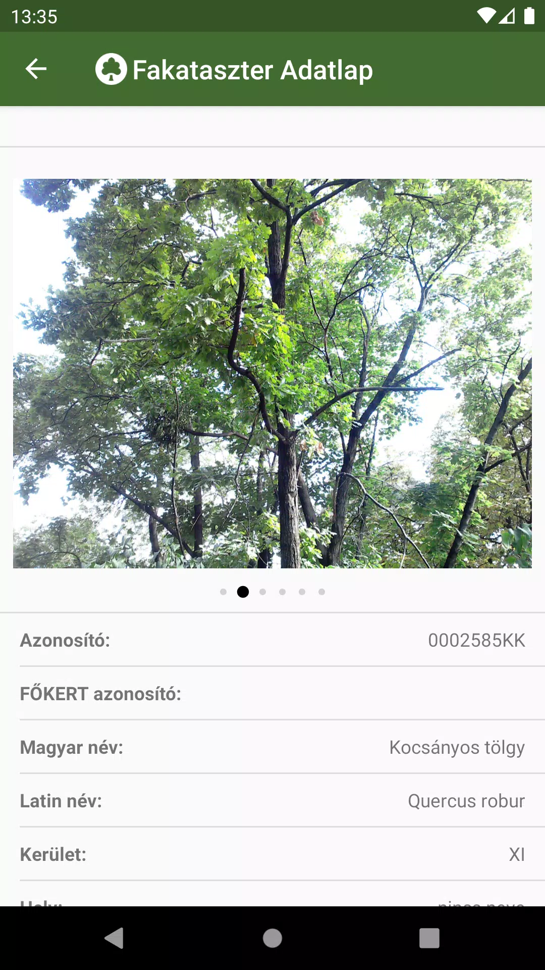
- XI. district municipality
- XIII district municipality
- XIV. district municipality
- XVIII district municipality
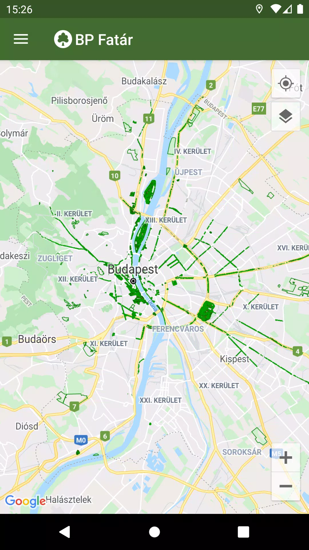
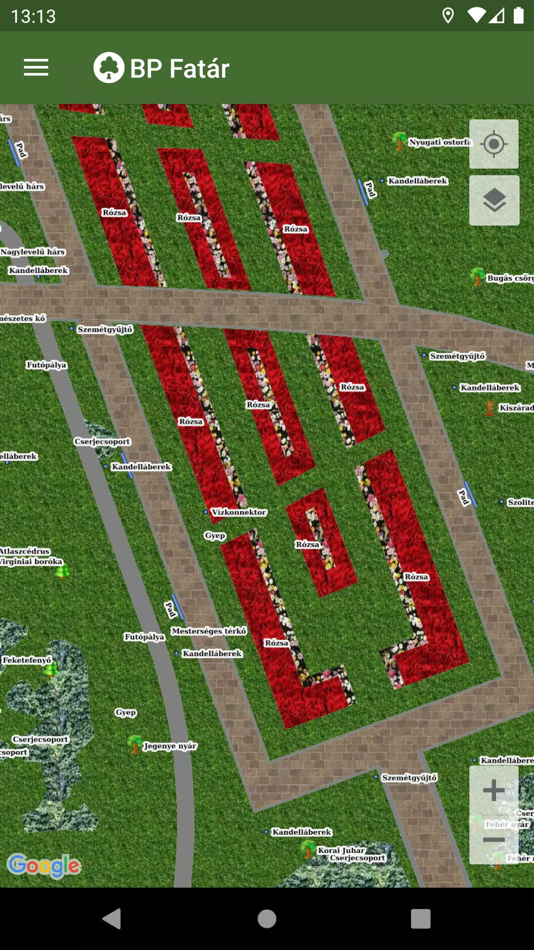
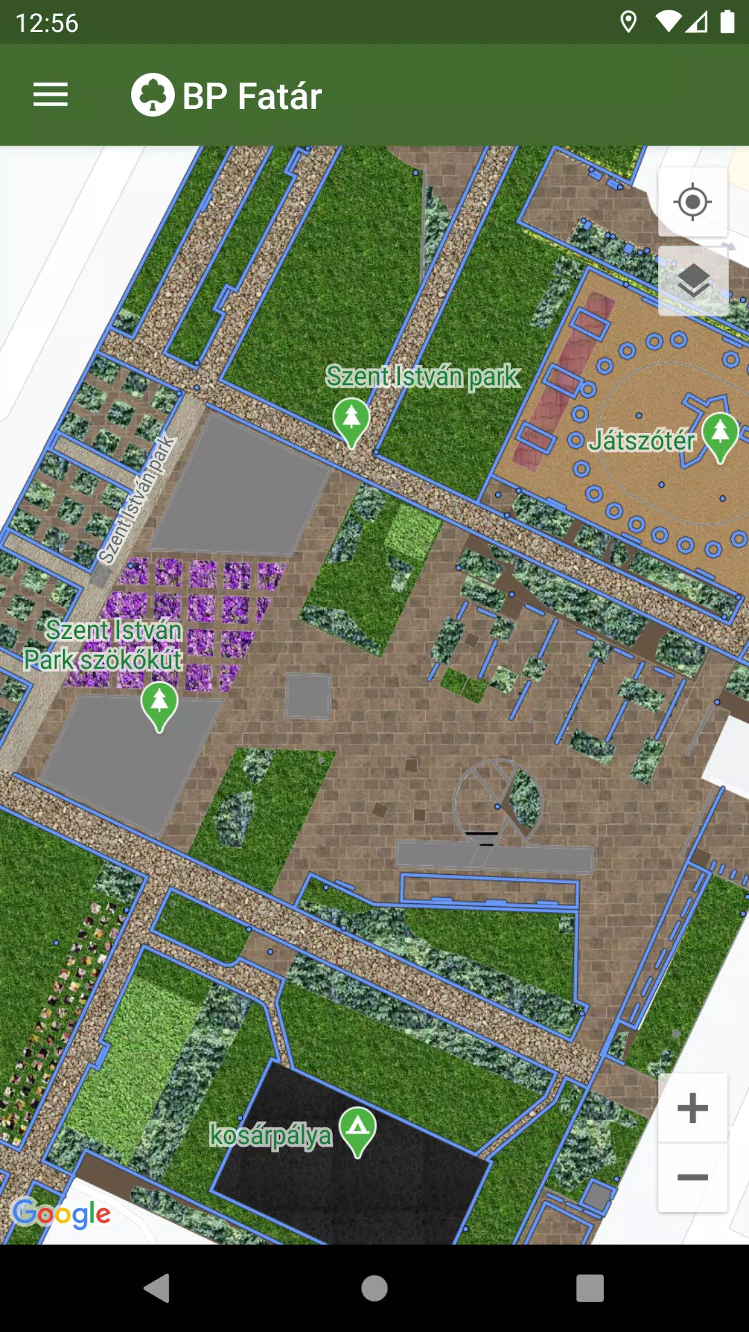
Navigate effortlessly through the map to pinpoint areas of interest. By clicking on points, lines, or surfaces on the map, you can access detailed data sheets for each cadastral element. These sheets provide in-depth information and photos about the selected elements, enriching your understanding of Budapest's urban greenery.
To enhance your exploration, the BP Fatár app includes a sophisticated search engine. You can search for specific tree species using their Hungarian or Latin names in the tree scanner feature. Additionally, you can filter through categories organized into groups within the park cadastre. Both search methods will display the locations of all matching cadastral elements on the map, making it easier to find what you're looking for.
If you notice any issues, such as a damaged tree or bench, you can report these directly to the data manager's employees. Simply click the "Error report" button on the data sheet of the affected element to initiate the process.
What's New in Version 1.5.2
Last updated on Oct 20, 2024
Bug fixes.
Maps & Navigation


 Apps like BP Fatár